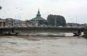
After days of concern over rising water levels, the Jhelum river has finally receded below the “danger mark” at key monitoring points, offering relief to residents across Kashmir.
According to the Irrigation and Flood Control Department, the water level at Sangam in south Kashmir was recorded at 19.26 feet, against the danger mark of 21 feet.
Similarly, at Ram Munshi Bagh in Srinagar, the gauge stood at 20.17 feet, below the danger level of 21 feet.
However, the level at Pampore continued to remain above the danger mark.
Officials said the overall situation has improved significantly, though they advised people in low-lying areas to remain cautious.
Continuous rainfall for two days across the Valley earlier this week triggered a flood scare, with water levels in the Jhelum River and streams rising above the danger mark in several areas.
However, by Wednesday evening, the water had begun to recede in most parts of the Valley.
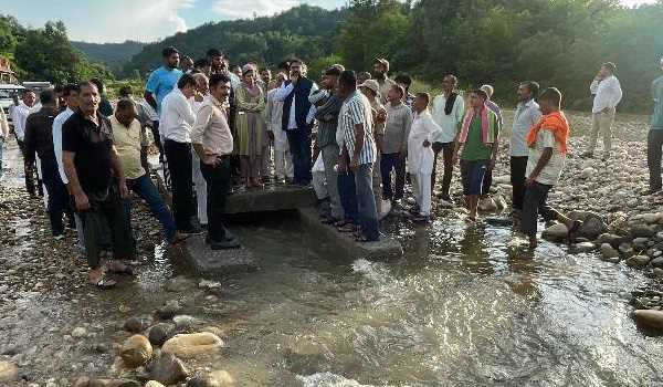
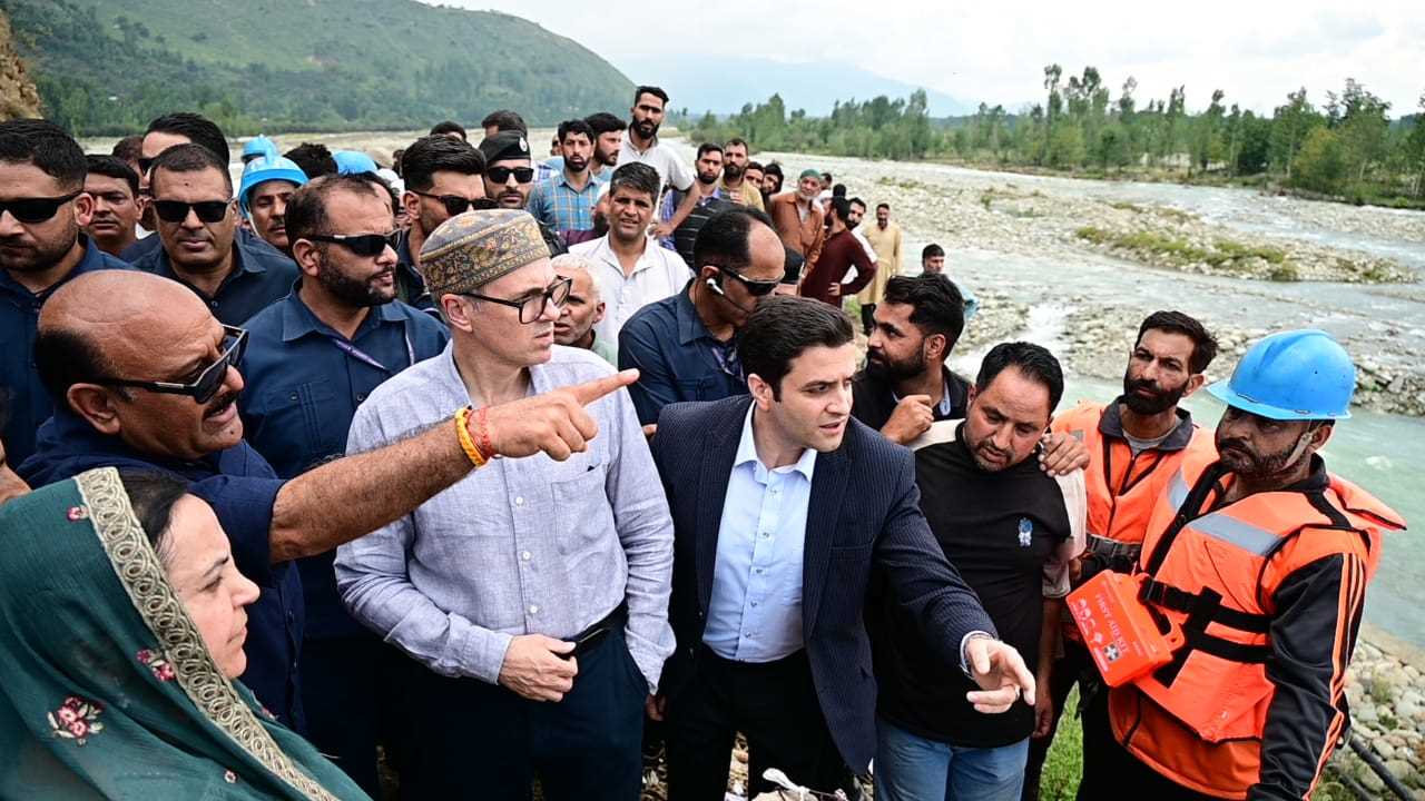
Several villages in central and south Kashmir were, however, inundated yesterday after the roaring Jhelum tore through the embankment on Srinagar outskirts.
Many areas in south Kashmir and central Kashmir’s Budgam district are still waterlogged.
The Jhelum, which runs for over 180 km and originates from south Kashmir’s Verinag, has been the lifeline of the Valley but has also caused its worst disasters.
In 2014, the river swelled dangerously and, joined by over a dozen tributaries, triggered the worst-ever floods in Kashmir’s recent history.
The deluge submerged nearly 70 per cent of Srinagar city, inundated more than 800 villages for over two weeks, and left nearly 300 people dead.